Diseases from dirty water kill more people every year than all forms of violence, including war.

Access to clean water is the most powerful tool for sparking economic growth that deserves all the attention we can gather. Access to clean water can change everything for the better, for good health, and for life as we know it.
Now and then, the Busoga region faces a water crisis. A dependable permanent solution is required.
A UN report indicates that diseases stemming from dirty water kill more people yearly than all forms of violence, including war. Forty-three per cent of those deaths are children under the age of five. Based on several researches, it has been estimated that basic sanitation can save around 16,000 people.
In Africa alone, women walk for water for 40 billion hours a year. In other words, access to clean water gives communities more time to grow food, earn an income, and go to school. Thus, access to clean water is a powerful tool that can help the Busoga region fight and surmount the region’s three significant challenges: poverty, illiteracy, and poor health.
High-quality water intake correlates with high sanitation, literacy, economic growth, and air quality scores.
Safe and clean water is a prerequisite for reducing many common fatal diseases among adults and children, such as diarrhoea, dysentery, and cholera.
The challenge of obtaining access to water and sanitation is not merely scientific and technical; it is also interwoven with politics, environment, culture, economics, and human behaviour, necessitating interdisciplinary research and determination to establish a positive change.
Access to water can be classified into improved and unimproved water sources.
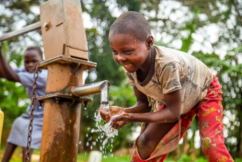
“Improved water sources” include piped water and water drawn from protected springs and deep boreholes.
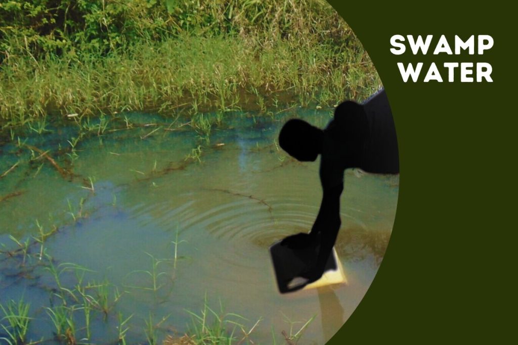
Open water sources, like unprotected wells and surface water (rivers, streams, ponds, and lakes), are more likely to carry disease-causing agents and are categorized as “unimproved sources.”
Survey Report
- In Busoga, a survey collected information on who in the household was involved in fetching water and whether they were adults or minors.
- Overall, most household members involved in fetching water were adult females (41%), followed by female minors (22%). This was the trend in both male and female-headed households and rural areas and towns or urban areas.
- For at least 95% of the households, the distance to better drinking water sources was about 3.0km.
- The average time taken to and from drinking water sources and the average waiting time were 30 and 25 minutes, respectively.
- However, 42% of communities reported that safe water sources had improved compared to 22% of communities that reported deterioration. 28% of communities reported that the situation had not changed.
- Overall, the highest proportion (34%) of households used borehole water for drinking, while 29% used water from unimproved water sources. A large proportion (33%) of households in rural areas used water from unimproved water sources compared to residents in urban areas (16%).

Protecting Water Catchment Areas
A catchment is an area where the natural landscape collects water. In a catchment, all rain and run-off water eventually flows to a stream, river, or lake or into the groundwater system. Human activities such as agricultural practices, irrigation systems, wetland reclamation, deforestation, agrochemical use, urbanization, and industrial development contribute to the degradation of water catchment areas.
In the survey, community respondents were asked whether any activities to protect water catchment areas had been undertaken in their communities and, if so, what those activities were. Overall, 38% of communities undertook activities to protect water catchment areas.
Activities undertaken to protect catchment areas were varied. Overall, a third of the communities (32%) undertook activities preventing wetland encroachment, while 23% undertook tree planting.
Four in every ten communities undertook activities other than planting trees, preventing wetland encroachment. At this point, it’s important to note that, for various reasons, the Busoga region has been one of the leading regions in the nation to have cut down trees over the years. This practice has contributed to the current hostile climate changes.

Environment
The climate and vegetation of Southern Busoga are influenced by Lake Victoria, where the average rainfall is 60 inches (152 centimetres) a year. The Northern part receives an annual rainfall of 40 inches, and the natural vegetation is mainly savanna, interspersed with deciduous trees. Around the basin of Lake Kyoga, the grass is short, and there are papyrus swamps.
Without mentioning other river tributaries like Lumbuye, Kyankuzi, and Naigombwa, one can quickly tell that Busoga is a land located between waters. Because of its unique geographical location, many authors have referred to this area as an island. Thus, it should be fertile. It’s known that the first colonialists, H.M. Stanley and Grant, in 1875, described it as “a food basket of Uganda” and its people as “Peaceful and Loving.” Busoga is a very unique racial group.
